03-07-2026
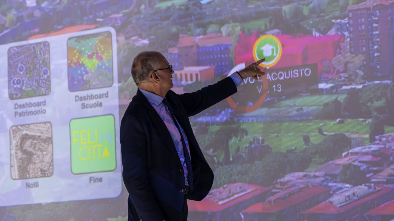
Developed with the support of Almaviva, as technology partner, the new Atlas of Rome has been unveiled. It was presented by Mayor Roberto Gualtieri through a 270° interactive projection that took the audience on a journey through both historic and contemporary Rome, showcasing the potential of the new platform and the interaction between mapping, data, and three-dimensional models.
For the first time, a platform - developed with Almaviva, lead company of the RTI (consortium), made up of e-GEOS, Intellera, Tecninf SpA, and Geosystems - brings together data relating to the city's public assets, school buildings, and urban infrastructure within a single system, creating a network of information from multiple municipal departments and making it accessible to citizens in a simple, transparent, and interoperable way.
✔ Expansion of the Heritage Atlas Platform, which has evolved into an integrated digital tool capable of gathering data, information, and services from the entire municipal administration.
✔ Created from a new aerial photogrammetric survey of the entire municipal territory, Atlas uses high-definition mapping, with a resolution of between 5 and 7.5 centimeters per pixel - the highest precision range currently achievable.
✔ With data certified via fingerprint (SHA2-256 hash), the platform enables direct on-screen measurements, thanks to a precision photogrammetric workflow with verifiable results.
✔ The platform integrates three-dimensional models (3D meshes), BIM navigation, and an open architecture designed to progressively integrate data and services from all departments of Rome’s municipal government.
✔ The project was created to improve knowledge of the territory, make city management more efficient, and increase administrative transparency. Thanks to the integration of mapping, asset, and informational data, it will support the planning, maintenance, and monitoring of public assets.
✔ The platform contains over 60% of Rome's municipal assets, searchable by category, address, status, and surface area. The goal is to complete the digitalization of Rome's entire real estate portfolio by 2027.
The installation will be open to the public free of charge at the Forma Urbis Museum until July 5th, from 7:00 pm to 9:00 pm.