Home / Digital Change / Water, Utilities & Environment
Water, Utilities & Environment
Water, Utilities & Environment
The scenario
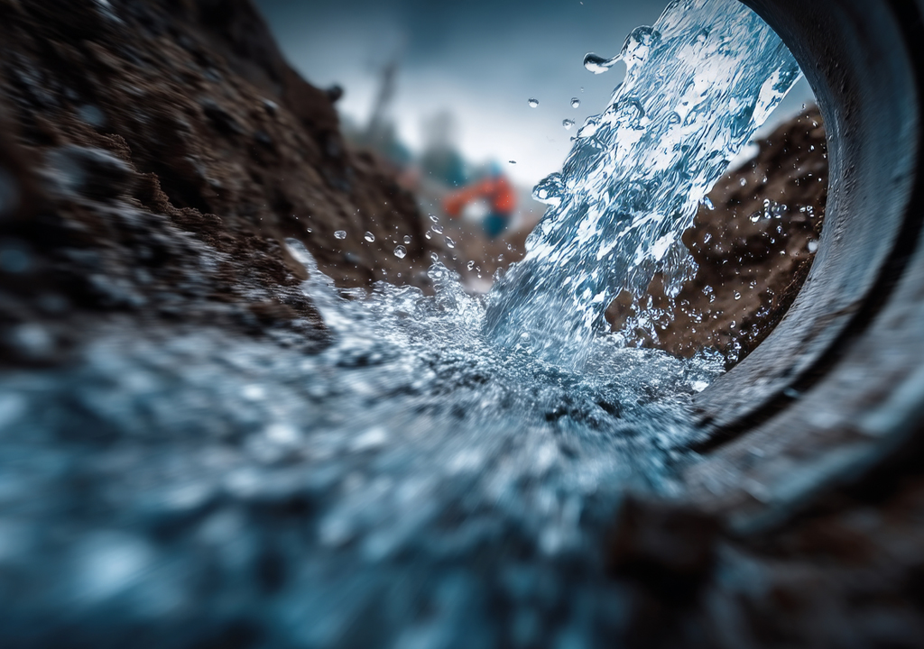
Sustainable management of water and environmental resources is at the heart of today's global challenges. Climate change, hydrogeological instability, biodiversity loss, and pollution require a radical rethinking of how we monitor, protect, and use water and land.
€27 bln
value of EU digital solution market for the water sector up to 2033
27%
CAGR (2024-2032) of AI market for global water management
€2 bln
investments in Italy for water leak reduction up to 2026
$41 bln
value of global environmental monitoring market up to 2029
€2 bln
value of value of damages from hydrogeological instability in Italy every year
22,5%
CAGR (2023-2033) of AI market for global environmental monitoring
17,5%
CAGR (2024-2030) of IoT market for global environmental monitoring
Almaviva Group for Water, Utilities & Environment
We lead digital transformation to enable sustainable water and land management for public administrations, agencies, and managers of the Integrated Water Service.
180+
implemented projects
170+
dedicated professionals
200+
active customers
40+
years of experience
20,000
KM of analysed water network
2,600
KM of monitored natural sites
Our core competence
Almaviva Group deploys a set of integrated skills to create innovative solutions, combining new technologies with the experience of analysts, designers, and industry professionals.
Understanding data and customer listening represent the industry's innovative turning point, the starting point for creating new solutions: IoT devices, such as smart meters, energy efficiency monitoring, and smart supply networks are key resources for the future of the ecological transition.
Water
network management
device supply & management
Territory
security & sustainability
agritech
Smart ecosystems for Water, Utilities & Environment
We optimize the use of water and land resources, ensuring the safety of networks and territory, and leveraging environmental data to enable efficient and sustainable governance.
The key is to effectively manage the enormous amounts of data generated by IoT sensors, smart grids, and all the complex and interconnected processes within supply chains to identify risks, inefficiencies, waste, and even new opportunities.
Our main experiences
WATER success stories
Digitalization of the water network with surveying, modeling, smart metering and advanced leak detection
for Acqua Bene Comune di Napoli
Digitization of Rome's water network with surveys, temporary monitoring, and fixed installations
for ACEA Roma
Management and evolution of CRM and network systems
for Acquedotto Pugliese
Sewer network monitoring system to prevent environmental damage in the event of extreme weather events
for Gruppo CAP
Pollutant monitoring and alert system in the sewer network for environmental protection
for Iren
Water leak detection with 6,000 noise loggers
for SMAT Città Metropolitana di Torino
WATER use cases
Network & plant digitalization
Mapping of the water network through geometric, topographic, and aboveground asset surveys, useful for verifying the routes and positioning of pipelines, control systems, and water infrastructure. GIS helps understand how to perform water network maintenance, rehabilitation, and management activities
Hydraulic modelling
Mathematical network modeling & installation of flow and pressure measurement instruments to analyze network behaviour and optimize its use. Support for identifying DMAs (District Metering Areas) and PMZs (Pressure Management Zones) for active leak control
Leak detection
Approach combinig traditional on-field research based on satellite and AI technologies. It can prelocate critical sections, categorize them into classes, and retrieve information useful for pipe replacement investment planning, prioritizing on-field activities, and maximizing results in terms of leak per KM on checked network
Smart Water Management System
Network digital twin that, through GIS and other IT system integration shows the near-realtime network status and support analysis & simulation. It uses AI and machine learning to correlate information and produce risk models for faults, breakdowns, and predictive maintenance
Centralized Acquisition System & Smart Metering
Supply, installation, and connectivity of smart meters & device management through the Centralized Acquisition System (CAC) for device lifecycle management, consumption data analysis, user profiling, and alarm management
TERRITORY success stories
Platform for the management of administrative and on-site controls on aid to agricultural businesses
for AGREA Emilia-Romagna
Platform for managing applications for aid to agricultural companies, integrating GIS, formal and administrative controls, and protocol
for Sudtiroler Informatik AG / Informatica Alto Adige SpA
Digitalization of procedures through the Hunting & Angling System and the Mushroom and Truffle Collection System, to protect wildlife and regulate activities
for Regione Veneto
Digitalization of declarations for new agricultural businesses to INPS, for the start of activities, agronomic composition, and calculation of contributions
for INPS
Agricultural Information System (SIA) for research, consultation and management of information on employers, collaborators and contributions
for INAIL
National Platform of River Contracts
for Osservatorio Nazionale dei Contratti di Fiume
Hydrogeological instability, on-site landslide monitoring across the Country
for Ministero dell'ambiente e della sicurezza energetica
TERRITORY use cases
Blockchain for food traceability
Blockchain-based supply chain data recording (i.e: food origin and production) in a secure and immutable way to ensure data accessibility and traceability up to the consumer
Water & livestock requirements
Data on weather, coltures, soil, and animals optimize water supply and irrigation, ensuring the wellbeing of coltures and crops, water efficiency, cost & waste crunch
Satellite monitoring
High-definition satellite images offering data on coltures, soil, and parasites, optimizing agricultural management for farmers, reducing waste, and improving the system sustainability
Remediation database & portal
Integration tool for document management and monitoring of remediation activities in National Interest Sites, to facilitate access to data & admin procedures
Research projects
FOLIAGE
Forest governance improvement through procedure digitization, satellite-based forest area monitoring, information to citizens, and support to forest policies
DIONYSUS
Decision-making support platform for farmers, consortia, public administrations and food industries, based on data from 4 demo sites in the Mediterranean Sea, with bio-economic models for WFE resource efficiency & saving
AGRIDATAVALUE
Analysis of climate change on biodiversity and agriculture, with vulnerable territories through blockchain-based certified data and XAI algorithms for large-scale management
ENERGISE
Experimenting an innovative platform for Renewable Energy Communities management. With real-time monitoring tools and advanced optimization features it promotes more responsible consumptions, energy efficiency, and economic & environmental benefits
INEST
Introducing an advanved digital model for water network management, based on Digital Twin and new maths-physics theories. Network behaviours simulation enables identification & reduction of leakage in aqueducts, optimizing water service management, and improving infrastructure sustainability
ESA WATER FILL KICK-START
Exploring integation between ESA satellite data, IoT sensors, and AI-based algorithms to implement an innovative environment monitoring platform. The goal is to support organizations and utilities in the sustainable management of water resources, addressing climate change effects, and enabling new opportunities in the Space & GIS sector