Home / Digital Change / Agriculture / Satellite monitoring
Satellite monitoring
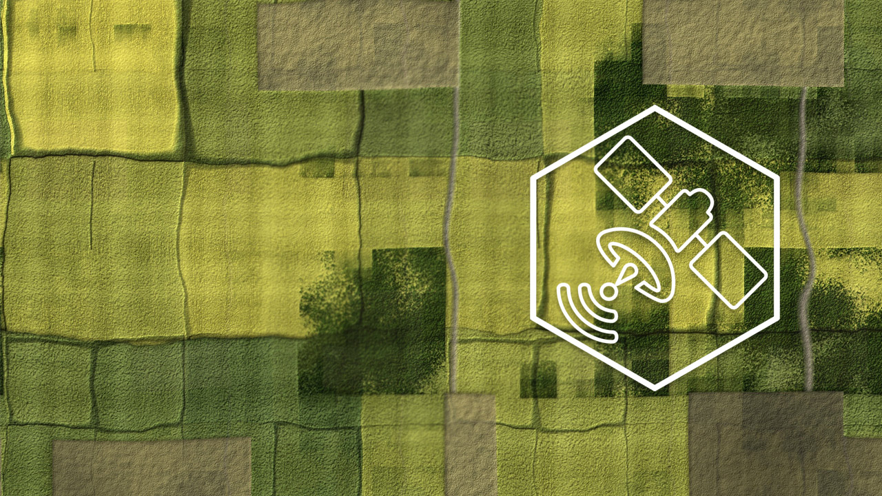
Satellite monitoring
Use Case
A European regulation anticipates the progressive replacement of random checks of the agricultural surfaces, preliminary to the payment of European premiums, conducted through photo-interpretation and site visits with automatic procedures based on the processing of the Copernicus Program satellite images.
Copernicus is a set of complex systems that guarantees reliable and updated information, integrating and processing data from diversified sources: land observation satellites, land sensors, sea sensors and airborne sensors.
Specifically, the Sentinel 1 and Sentinel 2 satellites guarantee the open and free availability of images of the entire territory.
Environment, territory, security: the Copernicus services support a vast range of applications in support of urban areas, regional and local planning, agriculture, forestry, fishing, health, transport, climate changes, sustainable development and civil protection.
Almaviva intervention
In 2018, the AGEA (Agenzia per le Erogazioni in Agricoltura) proposed themselves to ESA (European Space Agency) and DG Agri - General Management of Agriculture and the rural Development of the European Commission - as reference user to assess the effectiveness of the Copernicus constellation satellite data in the process of verifying and monitoring crops benefiting from European Community contribution.
Technological partner of AGEA, Almaviva created a crop monitoring system that allows objective checks to be conducted, using the satellite information with automated processing.
The purpose of the check using this type of data is to gradually replace the traditional checks, making the eligibility objective and indisputable for the assistance disbursed in favor of agricultural enterprises by the Commission in the area of European Community Agricultural Policy.
The new monitoring approach
Almaviva solution substantially changes the current scenario, based on checks subsequent to submission of the application - with any applications of payment reductions and sanctions - replacing it with a prompt communication process to the farmer in the event of any non compliances found during the application monitoring process.
Successful monitoring data
In the 2018 campaign
- More than 400,000 hectares examined in the province of Foggia
- 30,000 agricultural enterprises involved
- 99,7% of the enterprises passed the analysis with positive results
In the 2019 campaign
- 6 provinces examined: Foggia, Bari, Cosenza, Crotone, Viterbo and Pordenone
- 4 assistance requests monitored: Basic regime, Small Farmers, Assistance paired with Legumes and Durum Wheat
- More than 10,000 farms involved
- More than 1,400,000 hectares of surface analyzed
The solution also lends itself well for use in the battle against illegal hiring and other employment irregularities in agriculture, thanks to the immediate identification of labor intensive areas and a risk indicators system which allows checks to be concentrated on the highest risk areas.
AGEA awarded at the 24th European MARS Conference in Dubrovnik
In November 2018, AGEA was awarded by the Joint Research Center (JRC) at the technical European MARS Conference in Dubrovnik for having been the first Agency on a European level to activate the innovative CAP applications monitoring process, providing concrete application of the enormous potential offered by the Copernicus Program satellites in the agricultural field.