Home / Digital Change / Ecological Transition / Federated National Infrastructure Information System
Federated National Infrastructure Information System
Federated National Infrastructure Information System
Use Case
The cadastre of infrastructures, the biggest Italian geographical system in terms of the amount of managed data
The new national strategy for ultra-wideband technology, approved on March 3, 2015 by the Council of Ministers, set itself the goal of ensuring, by 2020, that 85% of the population has access to infrastructures which are capable of providing services at speeds equal to or greater than 100Mbps while also guaranteeing Internet at a speed of at least 30Mbps to 100% of residents.
The tool that has been identified to coordinate operations and maintain transparency is SINFI - the Federated National Infrastructure Information System.
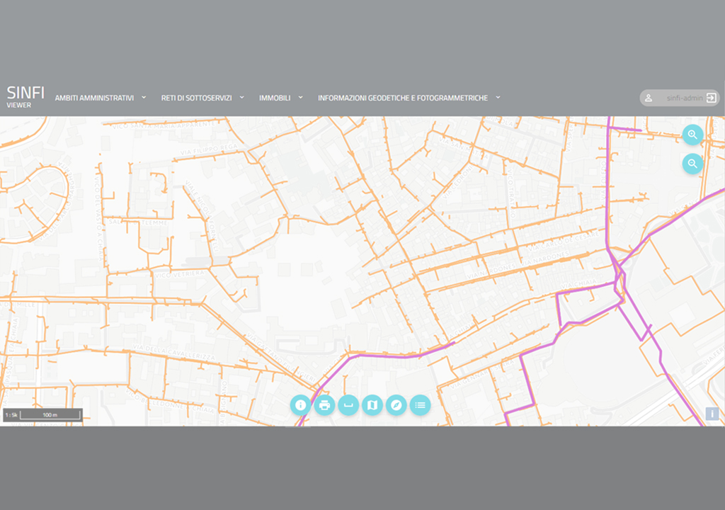
A complete mapping of the national infrastructures
The Ministry for Economic Development has entrusted execution of the activities to Agea, and therefore to Almaviva as a technical partner of SIN SpA, based on the experience and skills which it has acquired in the implementation and management of territorial systems (GIS - Geographic Information System) that support the allocation of European aid to the agricultural sector.
The objective of SINFI is to create a federated national cadastre of the under and above ground infrastructures present in Italy, which can be consulted by all qualified subjects - competent administrative authorities, managers, and/or owners of infrastructures - through a “single and integrated” cartographic platform.
The project was developed thanks to the “reuse of IT programs or parts of them” among public administrations; a virtuous example, of which SINFI is the evolution when it comes to Italy’s Country system.
Effective management of under and above ground resources and associated actions
The system encourages the sharing of infrastructures through the orderly management of under and above ground resources and associated actions, including:
design optimization of new infrastructures and improvement of the maintenance process
efficient management of permits
accuracy of the data for collecting land-use taxes
coordination of digs and optimized sharing of infrastructures with a consequent reduction in the impact on the territory and in overall system costs
inspection of critical infrastructures for the purpose of prevention and monitoring in the event of a natural disaster
Some features of the system
The system, which represents the biggest Italian geographical system in terms of the amount of data managed:
- based on geographic-cloud architecture and on a microservice software solution
- with a data catalogue produced using GeoUML (Geographic Unified Modeling Language) methodology tools
- with a metadata structure compliant to the INSPIRE directive and the norms of the National Directory of Territorial Data (RNDT)
- entirely designed within an open source environment.
To learn more: Federated National Infrastructure Information System (in Italian only).